In this lesson, students will be asked to predict the movement of water over defined landforms. Students will have the opportunity to use an Augmented Reality (AR) sandbox to see how water flows over landforms and how the motion changes when the landscape changes. Students will then have the opportunity to view a second model, stream tables, to see erosion and sedimentation in real-time.
In this design challenge, students will work together to design a tool or process that successfully removes an invasive species from an ecosystem while minimizing harm to the native species and environment.
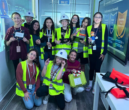
In this challenge, students will practice problem-solving and collaboration skills as they design, build, and test their wind turbine
prototypes. Students will explore the role of renewable energy in powering communities, learn about energy transfer and mechanical systems, and gain insight into the importance of sustainable energy solutions.
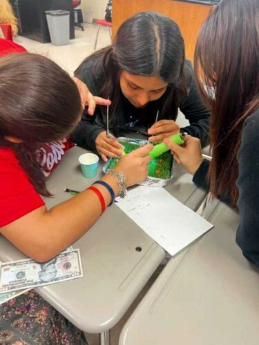
In this activity, students will read the story "In a Garden" by Tim McCanna. They will learn about the life cycle of a plant, what seeds need to grow, and what keeps seeds from growing. They will then create their own seed house and watch their seeds sprout!